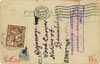
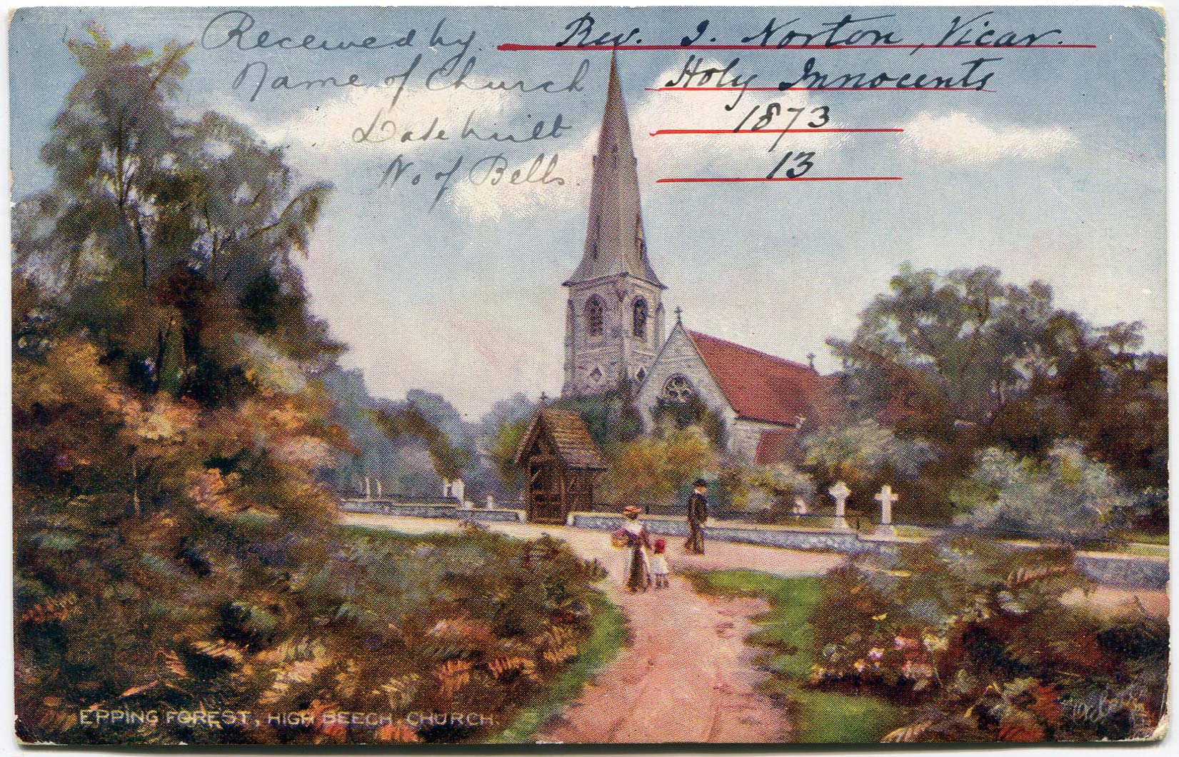
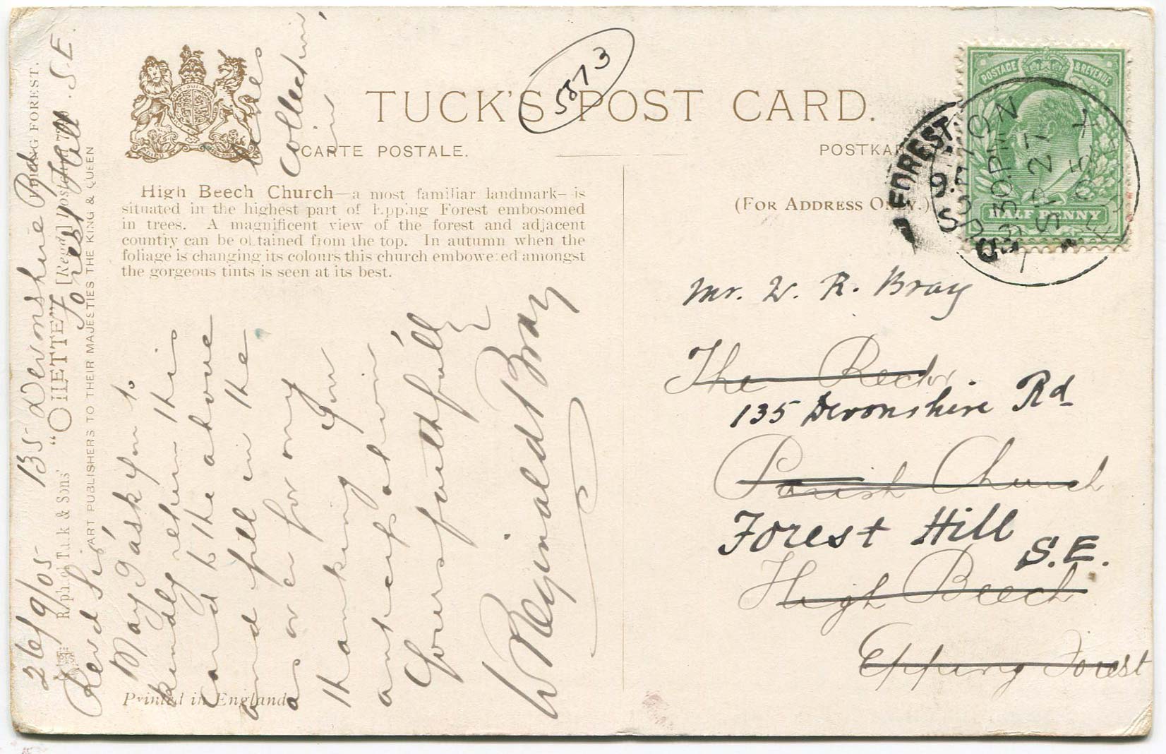
Information request
Postcard sent by Bray to The Rector, Parish Church, High Beech, Epping Forest on 26th September 1905 asking for information to be supplied.
High Beach (or High Beech) is a village inside Epping Forest and is located approximately eleven miles north east of central London. It is the only settlement inside Epping Forest,[n 1] and falls within the civil parish of Waltham Abbey and the ward of Waltham Abbey High Beach in the Epping Forest District of Essex, and for statistical purposes forms part of the London Metropolitan Area and Greater London Urban Area.
Holy Innocents church is surrounded by forest. It was built in 1873 by Thomas Baring, replacing an earlier church which was located in Church Road around 1 mile away from the present church's location, and was designed by the architect Arthur Blomfield in the Early English style at the cost of £5,500. The 125 feet (38 m) tower and spire contains 13 hemispherical bells cast at the Whitechapel Bell Foundry.
Epping Forest is a 2,400-hectare (5,900-acre) area of ancient woodland between Epping in Essex to the north, and Forest Gate in Greater London to the south, straddling the border between London and Essex. It is a former royal forest, and is managed by the City of London Corporation. An area of 1,728 hectares (4,270 acres) is a Site of Special Scientific Interest and a Special Area of Conservation. It gives its name to the Epping Forest local government district, which covers part of it.
The forest is approximately 19 kilometres (12 mi) long in the north-south direction, but no more than 4 kilometres (2.5 mi) from east to west at its widest point, and in most places considerably narrower. It lies on a ridge between the valleys of the rivers Lea and Roding. It contains areas of woodland, grassland, heath, rivers, bogs and ponds, and its elevation and thin gravelly soil (the result of glaciation) historically made it unsuitable for agriculture.


